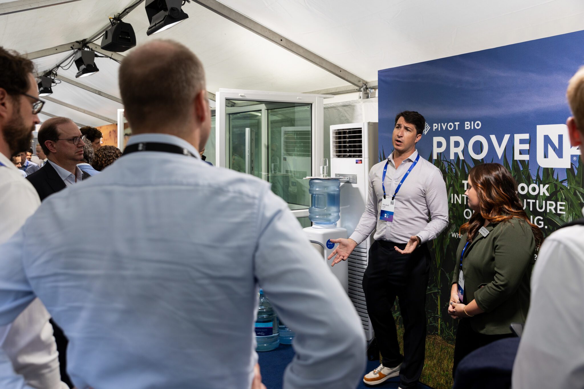
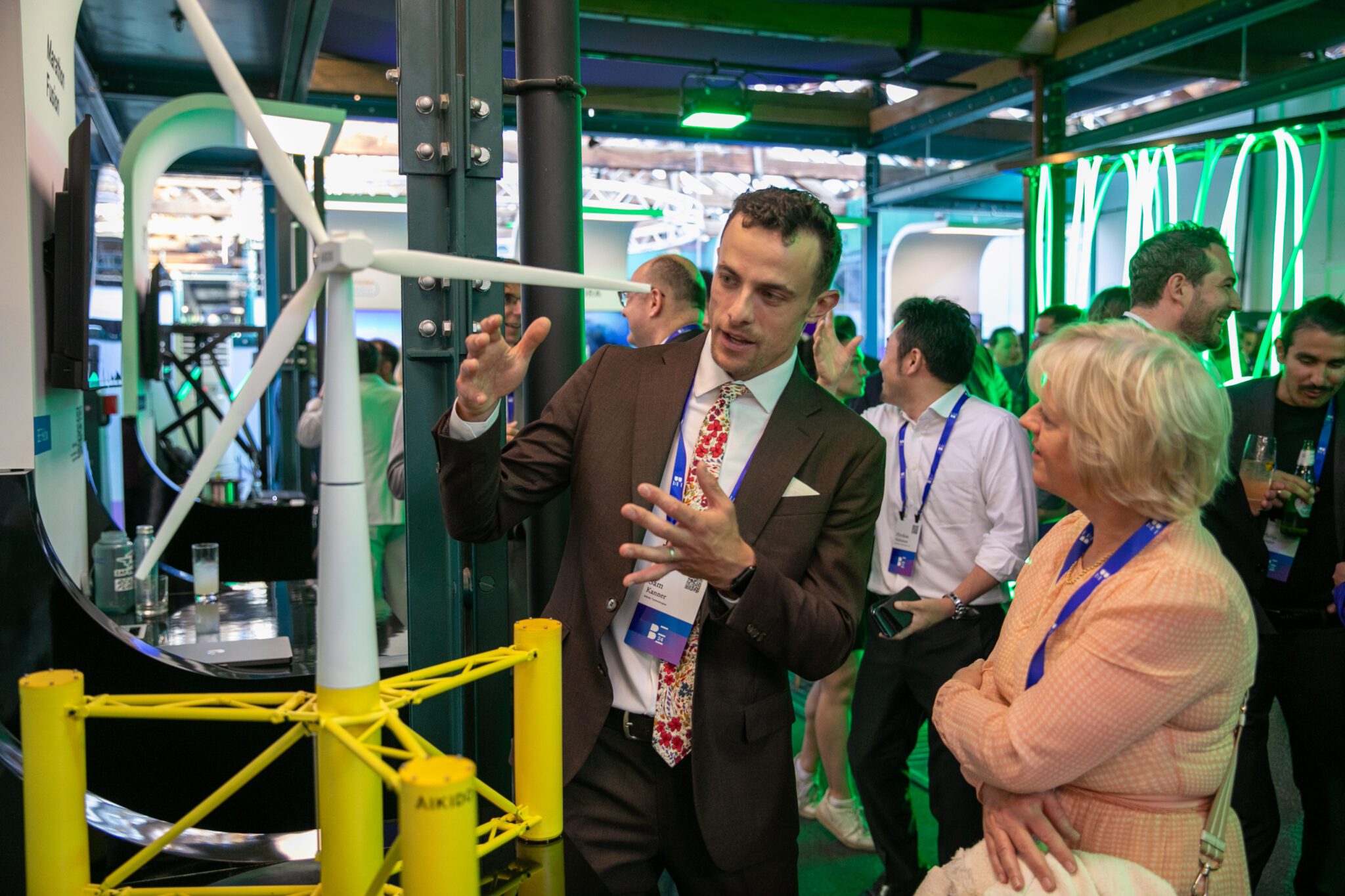
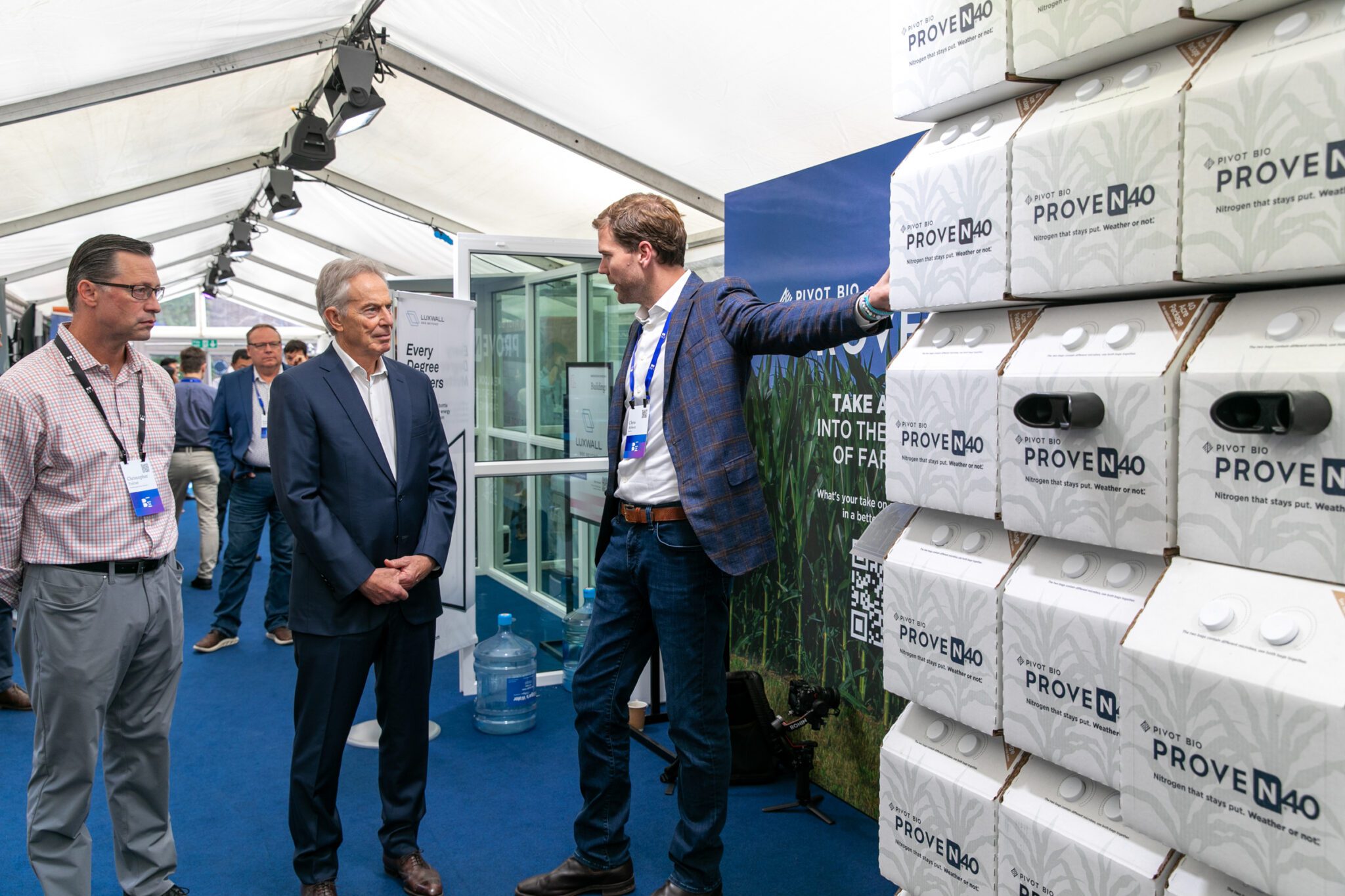
Climate leaders from around the world convened at the Breakthrough Energy Summit in London to take stock of our climate progress and discuss the work they’re doing to address the most critical challenges of our time.
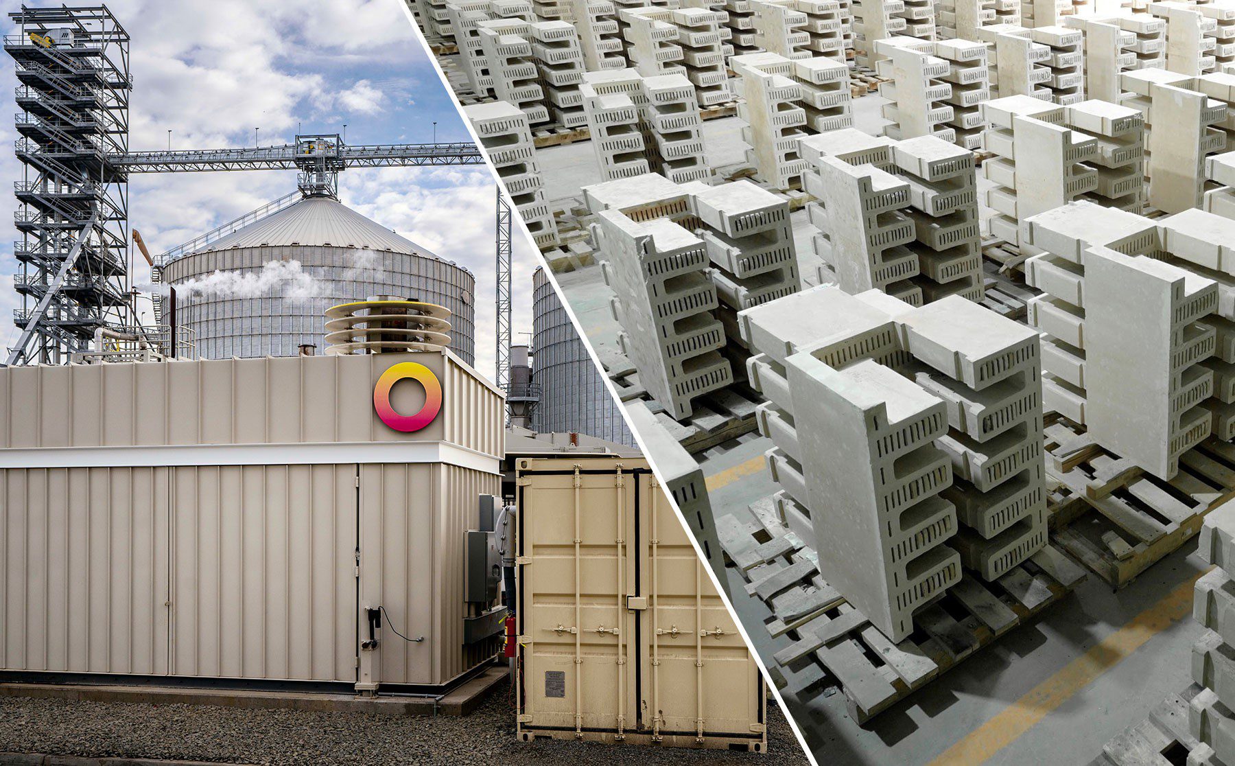
Over the three-day Summit, our network of scientists, entrepreneurs, technologists, philanthropists, policymakers, and industry leaders highlighted the transformational technologies at the forefront of the clean energy transition — and how BE is accelerating climate solutions at every stage of the innovation pipeline and across the Five Grand Challenges.
But now, we need to keep our momentum going into new frontiers
Achieving a net-zero future by 2050 will be the hardest thing humanity has ever done. But it is attainable if we act now, furthering the collaboration needed to achieve net zero. Together, with greater investment and smart policy, we’ll accelerate innovation to ensure a successful clean energy transition.


